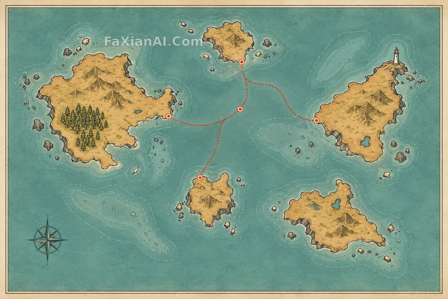
虛構群島的渡輪地圖海報
五座不規則島嶼與點線航路組成可讀的平面地理,不把土地懸浮起來。
✍️ 舊例把國家輪廓變成漂浮島;這裡堅持紙面俯視、海岸線、淺灘和渡輪線路的製圖關係。
📋 提示詞 自然語言
One original standalone travel-map poster of an imaginary small archipelago, viewed straight from above on lightly textured paper. Five irregular islands, a dotted ferry route, one lighthouse symbol, a tiny forest patch and shoal contours create readable geography without any text. Inked coastline, muted teal sea, warm ochre land, one coral-red route accent, generous blank margins, accurate cartographic layering and tidy negative space. This is a flat illustrated map in one complete frame, not a floating island, no names, letters, numbers, labels, logo, watermark or collage.
📋 中文譯寫版 自然語言
創作一張虛構小群島的旅行地圖海報,正上方俯看淺紋理紙面。五座形狀不同的島、點狀渡輪航線、一座燈塔符號、小片森林和淺灘等深線共同構成清楚的地理。墨線海岸、低飽和青綠色海水、暖赭色陸地、珊瑚紅航線點綴,四周留白。不寫地名、字母、數字、商標,也不畫漂浮島或拼貼。