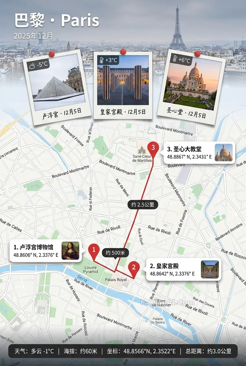
地圖當主角的巴黎旅行拼貼
寶麗來壓在地圖接縫處,編號對得上針腳不亂,這套地圖旅行海報的做工像開箱限定款。
✍️ 真正講究的是接縫——橫幅和地圖只能用一小段霧狀過渡銜接,生硬分割線直接拉低質感;編號一一對應且寶麗來必須比縮圖搶鏡,這兩條不滿足,做出來就是路子貨而不是限定款。
📋 提示詞 自然語言1898 字元
A 2:3 vertical keepsake poster built around a map as the true subject — precise, richly labeled, print-sharp enough to actually read, with real Google Maps-level place names, directions and distances for the destination: Paris, tourist season.
Anchor the top with a full-width banner strip whose text stays crisp and high-contrast even over a softly blurred, low-contrast location photo used only as background texture. The banner reads 'Paris · [location name in English]' with the date set to December 2025 (pick any interval within the month if left blank). Where banner meets map, blend them through a narrow foggy seam only — no hard edges or breaks.
Three oversized Polaroids, true vertical format (tall window, thick white bottom strip, never square), sit mostly overlapping the map right at that seam, the middle one slightly larger than its neighbors; give each a thick white border, soft shadow, slight tilt, a handwritten caption pairing location and date, and a temperature reading (use -5, +3 and +6 for the three shots) — content should visibly tie back to the place.
Draw the route as a single unbroken line connecting three numbered stops in order, each stop marked once with a red pin; float the distance between stops inside a dark rounded capsule rather than writing it along the line.
Beside every pin, place a white rounded info card — numbers matching the pins exactly, none overlapping or covering the main route — holding the landmark name, monospaced coordinates, and a small clear thumbnail that stays visibly smaller and lower-key than the Polaroids, connected to its pin by a thin line or arrow that lands precisely on the pin.
If a traveler appears, keep them confined to the Polaroids or thumbnails only — no extra pins or route additions.
Finish with a dark semi-transparent status bar along the bottom, neatly aligned: weather, altitude, coordinates, total distance.
📋 中文譯寫版 自然語言
一張2:3豎版紀念海報,地圖才是真正的主角——資訊密度高、印刷級清晰可讀,巴黎的地名方向距離都要經得起對照,時段設定為旅遊季。頂部做一條通欄橫幅,文字必須清晰高對比,哪怕背景用了低對比度的模糊地點照片也不能糊;橫幅寫'Paris·[地點英文名]',日期定在2025年12月(留空則任選月內一段區間)。橫幅和地圖交界處只能用一小段霧狀過渡銜接,禁止生硬分割線。三張加大號寶麗來,標準豎版(細長視窗+加厚白底邊,絕非方形),主要壓在地圖與橫幅的接縫處,中間那張略大;每張厚白框、輕陰影、微傾斜,配手寫的地點加日期,還有溫度標註(三張分別用-5、+3、+6),內容要看得出和當地的關聯。路線畫成一條不斷的線,按順序串起三個編號站點,每站只標一次紅色圖釘,站間距離浮在深色圓角膠囊裡,不寫線上上。每個圖釘旁配一張白色圓角資訊卡,編號嚴格對應、不遮擋主路線,內容含地標名、等寬字型座標、一張清晰但明顯比寶麗來小且弱化的縮圖,用細線或箭頭精確指向對應圖釘。如果畫面裡出現人物,只能出現在寶麗來或縮圖裡,不額外加圖釘或路線。底部收尾一條深色半透明狀態列,整齊排列:天氣、海拔、座標、總距離。