Home › Design Assets › A Paris Travel Collage With the Map as the Star
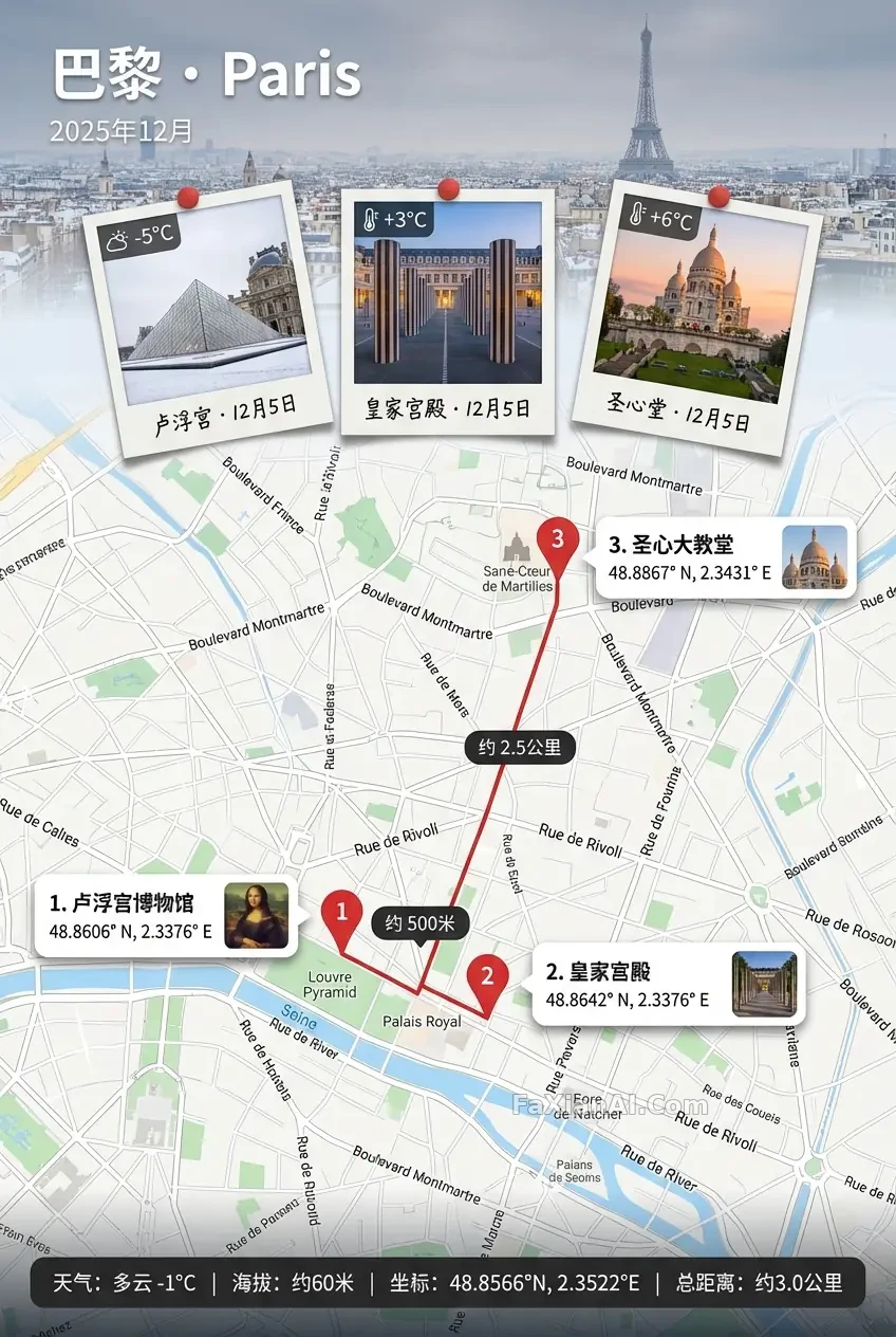
A Paris Travel Collage With the Map as the Star
Polaroids sit right at the map's seam, numbers matching up without a single stitch out of place — this map-based travel poster is built like a limited-edition unboxing.
✍️ What really matters is the seam — the banner and the map can only be joined by a narrow foggy transition, since a hard dividing line instantly cheapens it. The numbers have to match one-to-one, and the Polaroids must outshine the thumbnails; miss either condition and it turns into a knockoff instead of a limited edition.
📋 Prompt Natural Language1898 characters
A 2:3 vertical keepsake poster built around a map as the true subject — precise, richly labeled, print-sharp enough to actually read, with real Google Maps-level place names, directions and distances for the destination: Paris, tourist season.
Anchor the top with a full-width banner strip whose text stays crisp and high-contrast even over a softly blurred, low-contrast location photo used only as background texture. The banner reads 'Paris · [location name in English]' with the date set to December 2025 (pick any interval within the month if left blank). Where banner meets map, blend them through a narrow foggy seam only — no hard edges or breaks.
Three oversized Polaroids, true vertical format (tall window, thick white bottom strip, never square), sit mostly overlapping the map right at that seam, the middle one slightly larger than its neighbors; give each a thick white border, soft shadow, slight tilt, a handwritten caption pairing location and date, and a temperature reading (use -5, +3 and +6 for the three shots) — content should visibly tie back to the place.
Draw the route as a single unbroken line connecting three numbered stops in order, each stop marked once with a red pin; float the distance between stops inside a dark rounded capsule rather than writing it along the line.
Beside every pin, place a white rounded info card — numbers matching the pins exactly, none overlapping or covering the main route — holding the landmark name, monospaced coordinates, and a small clear thumbnail that stays visibly smaller and lower-key than the Polaroids, connected to its pin by a thin line or arrow that lands precisely on the pin.
If a traveler appears, keep them confined to the Polaroids or thumbnails only — no extra pins or route additions.
Finish with a dark semi-transparent status bar along the bottom, neatly aligned: weather, altitude, coordinates, total distance.