
Home › Design Assets › A Ferry Map for an Imaginary Archipelago
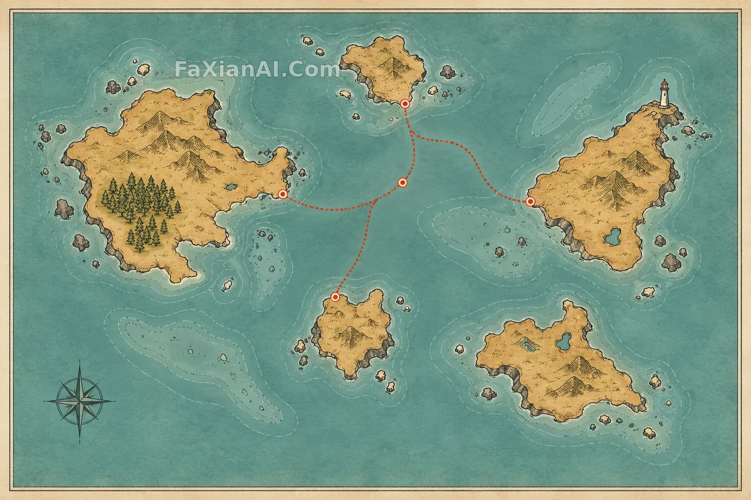
A Ferry Map for an Imaginary Archipelago
Five irregular islands and a dotted ferry route form readable flat geography.
✍️ The previous map poster turned a country into a floating island. Here coastlines, shoals and the route retain a cartographic relationship.
📋 Prompt Natural Language
One original standalone travel-map poster of an imaginary small archipelago, viewed straight from above on lightly textured paper. Five irregular islands, a dotted ferry route, one lighthouse symbol, a tiny forest patch and shoal contours create readable geography without any text. Inked coastline, muted teal sea, warm ochre land, one coral-red route accent, generous blank margins, accurate cartographic layering and tidy negative space. This is a flat illustrated map in one complete frame, not a floating island, no names, letters, numbers, labels, logo, watermark or collage.