Home › Design Assets › Illustrated volcanic island hiking map
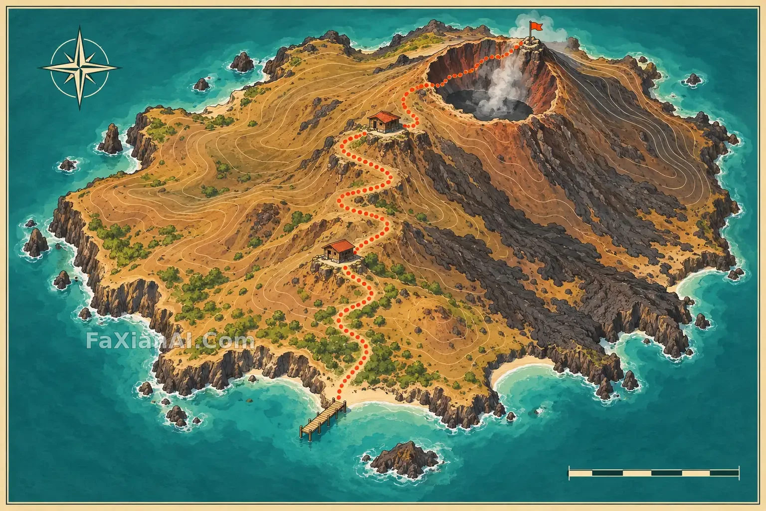
Illustrated volcanic island hiking map
A clearly marked trail connects a coastal pier, two mountain huts and a summit lookout across a small volcanic island.
✍️ Use warm terrain, contour lines and a continuous dotted route. Keep the map legible without place names.
📋 Prompt Natural Language
A clean illustrated hiking map of a small volcanic island seen from a gently elevated view. Show a coast pier, one winding trail through lava slopes, two hut stops and a summit lookout, all connected coherently without labels. Warm ochre and charcoal terrain, teal sea, simple contour shapes, small legend-like icons with no writing, 3:2 editorial map composition. No text, logos or watermark.