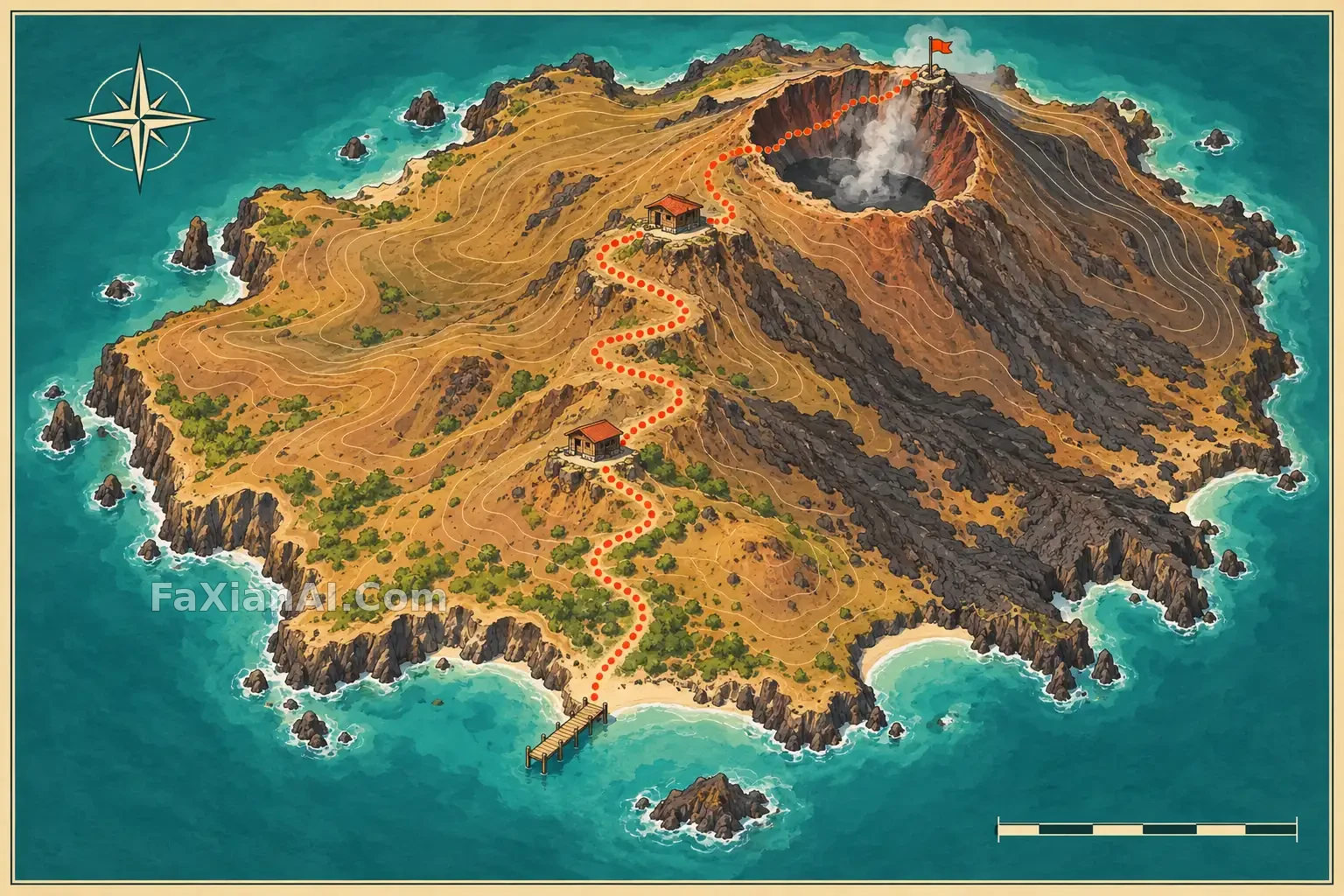
火山島徒步路線手繪地圖
從海岸碼頭沿熔岩坡道到山頂觀景臺,畫出一張無文字但路線清楚的火山島徒步地圖。
✍️ 現有同標籤是靛藍蠟染紅樹林圖;這次用暖色地形、路線節點和遠近層級做不同用途。
📋 提示詞 自然語言
A clean illustrated hiking map of a small volcanic island seen from a gently elevated view. Show a coast pier, one winding trail through lava slopes, two hut stops and a summit lookout, all connected coherently without labels. Warm ochre and charcoal terrain, teal sea, simple contour shapes, small legend-like icons with no writing, 3:2 editorial map composition. No text, logos or watermark.
📋 中文譯寫版 自然語言
繪製一張從微俯視角觀察的小火山島徒步地圖。海岸碼頭、穿過熔岩坡地的一條蜿蜒步道、兩處小屋停靠點和山頂觀景臺需要清楚相連,不用文字標註。暖赭色與炭黑色地形、青綠色海水、簡潔等高線和無字圖示,橫幅 3:2 編輯地圖構圖;不加字、商標或水印。